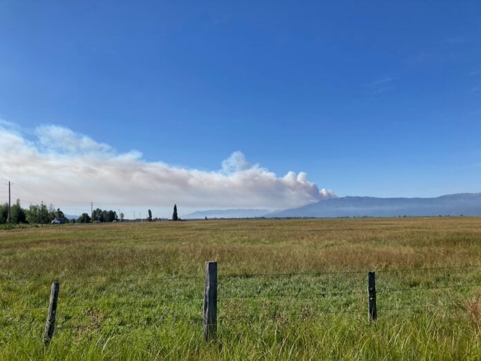
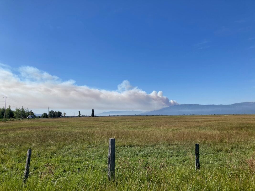
The Rock Fire was up to more than 2,300 acres burned on Friday, but favorable weather conditions aided firefighters on Thursday as they worked to establish containment lines, according to the Boise National Forest.
Aerial infrared mapping completed on Friday morning determined the fire has burned about 2,336 acres so far, said Mike Williamson, a Boise forest spokesperson. No structures have been destroyed.
Smoke plumes rising from the Rock Fire seemed noticeably lighter and less ominous on Thursday than on Wednesday, which Williamson said was mostly due to lower wind speeds.
“It was very wind-driven that first evening and first day,” he said. “That wasn’t the case today, and that makes a huge difference.”
The fire was also initially burning in sub-alpine fir stands that are common along the West Mountain ridge line. Sub-alpine fir is known for burning hot and throwing lots of sparks that ignite spot fires ahead of the main fire line, which is what happened yesterday within the Tamarack ski area boundary.
“There were some spot fires found on Tamarack’s ski runs, but they have been successfully suppressed,” Williamson said.
Watch Duty, a platform that tracks real-time wildfire updates, indicated the northern line to be near the Upper Bliss ski run. Williamson confirmed Friday that firefighters are working “aggressively” to hold the ski run as a containment line.
Tamarack resumed partial operations on Friday, though its marina, mountain bike trails, and zip line courses remained closed.
“The safety of those fighting the fires at or near our resort, as well as our guests, employees, and community, remains our highest priority,” said Graham Hetland, a Tamarack spokesperson. “We are working closely with local authorities and will resume operations as soon as it is safe to do so.”
No evacuations have been ordered as of Friday morning, according to a live map of evacuation zones. Three evacuation zones along West Mountain Road remain under the “Ready” designation, meaning residents within the zones should stay alert for updates and consider evacuation plans.
The Boise and Payette forests issued a closure zone around the fire on Friday.

(A Boise hotshot crew member studies the Rock Fire on Thursday from West Mountain Road south of Tamarack Resort Photo: Drew Dodson/Valley Lookout)
Rock Fire by the numbers
Size: 2,336 acres
Containment: 0%
Personnel: 252
Apparatus: Four large air tankers, one very large airtanker (8,000-gallon capacity), six single engine air tankers, four water scoopers and five helicopters.
Without donors like you, this story would not exist.
Make a donation of any size here
Photo gallery

The Rock Fire as seen from the Donnelly Boat Docks on Aug. 14, 2025. Photo: Drew Dodson/Valley Lookout

A fleet of tanker airplanes worked throughout the day to drop water on the Rock Fire’s northern edge. Photo: Drew Dodson/Valley Lookout

Pilots are using Lake Cascade to re-fill tanker airplanes that are dumping water on the Rock Fire. Photo: Drew Dodson/Valley Lookout

Homes along West Mountain Road are in “Ready” evacuation status as the Rock Fire continues to creep closer. Photo: Drew Dodson/Valley Lookout

The Tamarack Resort Village as seen from West Mountain Road on Aug. 14, 2025. Photo: Drew Dodson/Valley Lookout


